VEGETANTAR - Multitemporal vegetation mapping in the Antarctic Peninsula through multiscale remote sensing
About
Completed
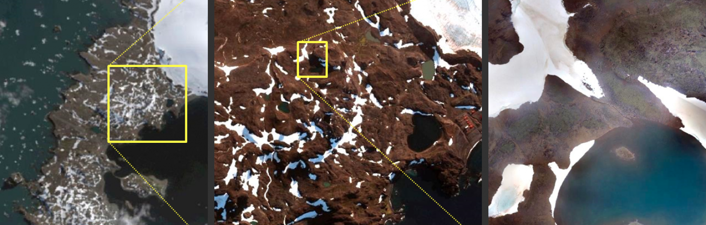
| The main objective of VEGETANTAR is to make a multitemporal mapping of the vegetation in the Antarctic Peninsula (AP) through remote sensing. Although the most adequate satellite dataset covering the AP (Landsat series since the 1970s) does not have enough spatial resolution (30m and worse) to directly identify most of the sparse and patchy vegetated surfaces, their spectral unmixing with the aid of higher spatial resolution imagery can overcome this issue. Therefore, VEGETANTAR proposes to develop and validate a novel methodology to adequately classify Landsat images through the integration of multiscale imagery of Sentinel2 (10m), WorldView or similar (1-2m) and UAV (0.5-5cm). The spectral unmixing is modelled first with contemporary datasets in a sequential procedure between adjacent scales (from the highest to the lowest) and then extrapolated to previous dates with only Landsat datasets. Barton Peninsula is the 1st test site, which will be followed by more test sites in the next years. |
Keywords
Environment
Remote Sensing
Start Date
CERENA Role
Coordinator
Coordinator/Local PI

Former Member
iFCT
CERENA Team
Proponent Institution
CERENA, Portugal
Partners
IGOT - Instituto de Geografia e Ordenamento do Território, Universidade de Lisboa
KOPRI - Korean Polar Research Institute, South Korea
Funding Programme
PROPOLAR 2018/2019
Total Funding
32 000,00 €
CERENA Funding
32 000,00 €