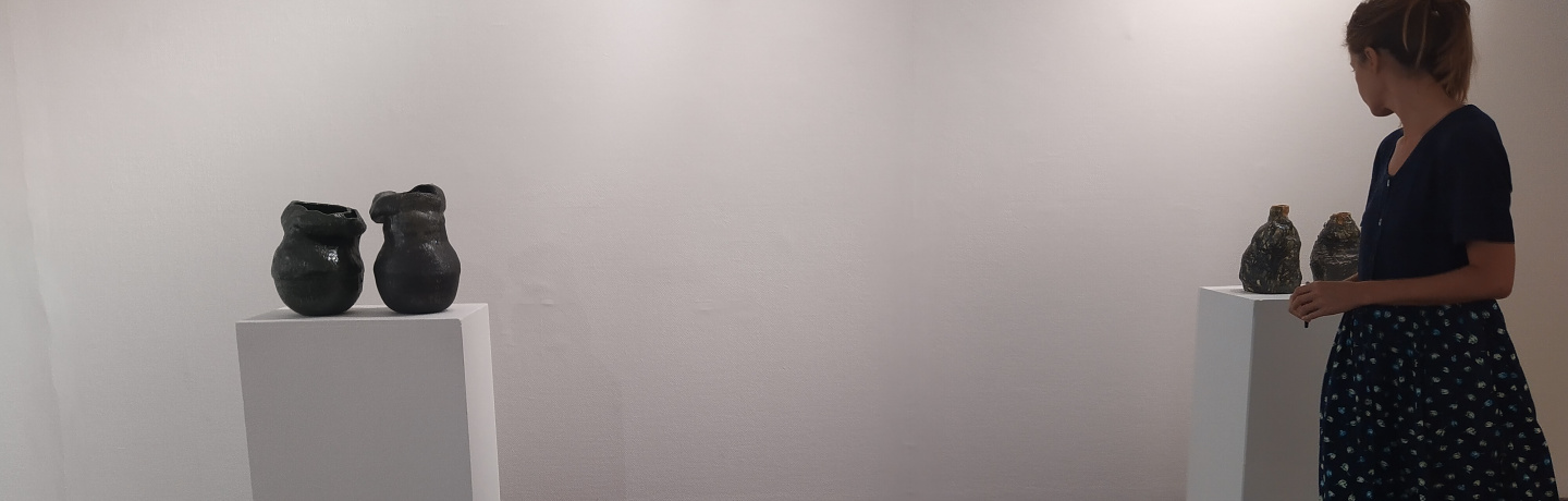
Exhibition ‘O Olhar do Pássaro’ at MU.SA – Museu das Artes de Sintra
MU.SA - Museu das Artes de Sintra, Sintra, Portugal |
Exhibition ‘O Olhar do Pássaro’ at MU.SA – Museu das Artes de Sintra
MU.SA - Museu das Artes de Sintra, Sintra, Portugal |
The exhibition ‘O Olhar do Pássaro’ roots the relationship between Art, Science and Technology, focusing on three themes of nature: the forest, the relief, and the watercourse, with which different scales, textures and colours are explored in artistic, documentary and scientific representations. ‘O Olhar do Pássaro’ features the participation of artist Filipa Marte, who combines sculpture and painting pieces. The starting point was a set of thousands of images systematically obtained by drones, in previously defined flight paths, which were then artistically recreated.
These images were captured as part of the ALTITUD3 – ‘Assessment of low-cost aerial intelligent systems for natural terrain 3D mapping’ project, funded by Fundação para a Ciência e a Tecnologia.
The exhibition ‘O Olhar do Pássaro’ is part of the scientific dissemination component of the ALTITUD3 project. The aim of this creation is to offer the observer a sensorial experience of the diversity of natural environment scenarios, ranging from the forest and the estuary to the mountains, mixing colours, shapes, textures and scales. Here, art and technology share the same focus, the modelling of objects found in nature. The artistic objects seek balance in their encounter with technology, also communicating scientific concepts, through photography, sculpture, and drawing, in harmony with the images and models created using drones, photogrammetry software, machine learning and 3D printing. This exhibition is also intended to inform, raise awareness, and inspire its visitors on the essential themes of the man/nature relationship, such as environmental sustainability and adaptation to climate change.
These images were captured as part of the ALTITUD3 – ‘Assessment of low-cost aerial intelligent systems for natural terrain 3D mapping’ project, funded by Fundação para a Ciência e a Tecnologia. The project focuses on the three-dimensional modelling of terrain and vegetation, using small unmanned aerial vehicles (commonly known as ‘drones’). 3D surface models (‘point clouds’) are generated by combining aerial photographs taken from different perspectives, depending on the drone’s flight plan. It uses a photogrammetry technique from the field of ‘computer vision’ called ‘Structure from Motion’. The continuous decrease in the cost of these small drones is democratizing their use, and revolutionising 3D mapping by means of aerial photography. But the relationship between the quality of the models obtained and the flight conditions and image acquisition and processing are still poorly understood. For this reason, different field experiments were carried out (to determine the optimal flight plans, the most efficient camera parameters, and the most favourable atmospheric conditions) in different areas including the Tagus Valley fault, the Sintra Nature Park, the Ria de Aveiro, and the landforms in Serra da Estrela. Advanced machine learning techniques were used to differentiate and measure important components of the modelled surface; for example, (i) extracting the surface of the terrain under the vegetation (important in mapping active faults and landforms), or (ii) estimating the height of trees, the thickness of their trunks, and the volume of vegetation close to the ground (important in forest management and, above all, in fuel management, essential for the prevention of forest fires).
‘O Olhar do Pássaro’ is hosted by MU.SA – Museu das Artes de Sintra, and supported by Fundação para a Ciência e a Tecnologia, in the scope of a protocol signed between Instituto Superior Técnico, Municipality of Sintra and Parques de Sintra.